| dc.contributor.author | Thornton, Jacob | |
| dc.date.accessioned | 2008-10-08T20:07:53Z | |
| dc.date.available | 2008-10-08T20:07:53Z | |
| dc.date.issued | 2008-05-27 | |
| dc.identifier.uri | http://hdl.handle.net/1803/1457 | |
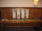
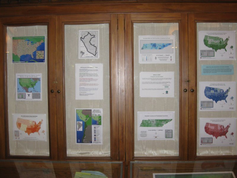
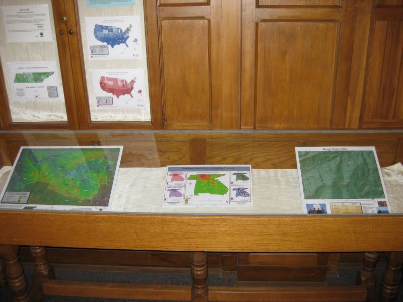
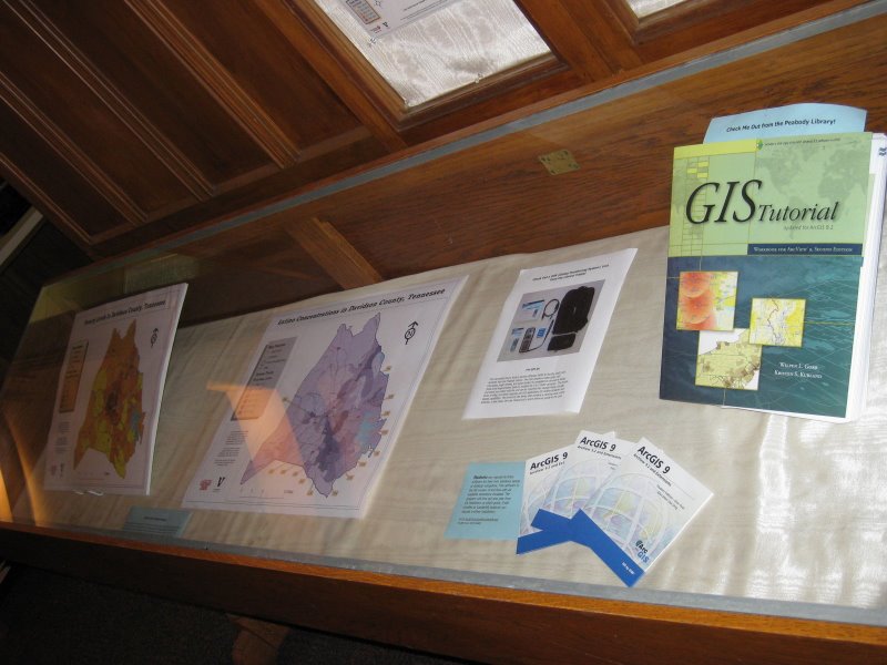
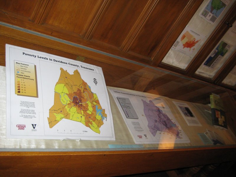
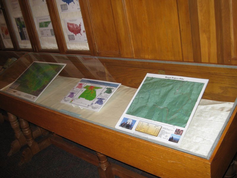
| dc.description | This Item contains eight images of a Geographic Information Systems display that was installed in the Vanderbilt Central Library on May 27, 2008. The display was in the cases to the left of the main entrance of the Central Library. It displayed maps that were created using GIS on campus that applied to various disciplines. It also included informational material on the availability of GIS through the library. | en |
| dc.language.iso | en_US | en |
| dc.publisher | Jean and Alexander Heard Library | en |
| dc.relation.ispartofseries | Jean and Alexander Heard Library | |
| dc.subject | Display | en |
| dc.subject | Central Library | en |
| dc.subject | Presentation | en |
| dc.subject | Maps | en |
| dc.subject | United States | en |
| dc.subject | Tennessee | en |
| dc.subject | Davidson County | en |
| dc.subject.lcsh | Geographic information systems | en |
| dc.subject.lcsh | United States -- Maps -- Photographs | en |
| dc.subject.lcsh | Tennessee -- Maps -- Photographs | en |
| dc.subject.lcsh | Davidson County Tenn. -- Maps -- Photographs | en |
| dc.subject.lcsh | Digital images | en |
| dc.subject.lcsh | Photograph collections -- Tennessee -- Nashville | en |
| dc.title | Central Library GIS Display | en |
| dc.type | Image | en |