Toggle navigation
About
Login
Toggle navigation
View Item
Institutional Repository Home
University Library
Geographic Information Systems
GIS Presentations
View Item
Institutional Repository Home
University Library
Geographic Information Systems
GIS Presentations
View Item
JavaScript is disabled for your browser. Some features of this site may not work without it.
Search Institutional Repository
This Collection
Browse
All of Institutional Repository
Communities & Collections
By Issue Date
Authors
Titles
Subjects
Department
This Collection
By Issue Date
Authors
Titles
Subjects
Department
My Account
Login
Register
Central Library GIS Display
Thornton, Jacob
Persistent Link
:
http://hdl.handle.net/1803/1457
Date
: 2008-05-27
Show full item record
Files in this item
Name:
Main.jpg
Size:
3.673Kb
Format:
JPEG image
Description:
Main Image
View/
Open
Name:
Wall.jpg
Size:
80.08Kb
Format:
JPEG image
Description:
Cases on the Wall
View/
Open
Name:
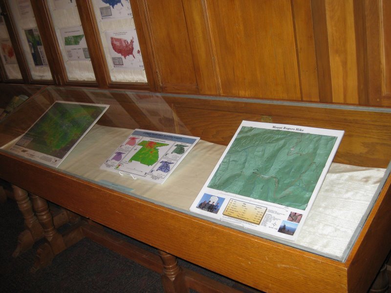
LeftCase.jpg
Size:
84.10Kb
Format:
JPEG image
Description:
Left Case
View/
Open
Name:
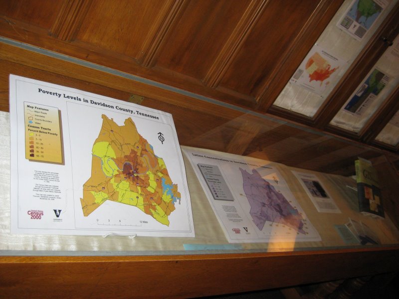
RightCase.jpg
Size:
82.96Kb
Format:
JPEG image
Description:
Right Case
View/
Open
Name:
LeftCaseFromCenter.jpg
Size:
79.67Kb
Format:
JPEG image
Description:
Left Case from Center
View/
Open
Name:
RightCaseFromCenter.jpg
Size:
81.91Kb
Format:
JPEG image
Description:
Right Case from Center
View/
Open
Name:
FarLeft.jpg
Size:
76.78Kb
Format:
JPEG image
Description:
Far Left
View/
Open
Name:
FarRight.jpg
Size:
85.03Kb
Format:
JPEG image
Description:
Far Right
View/
Open
This item appears in the following collection(s):
GIS Presentations